
Chabouze
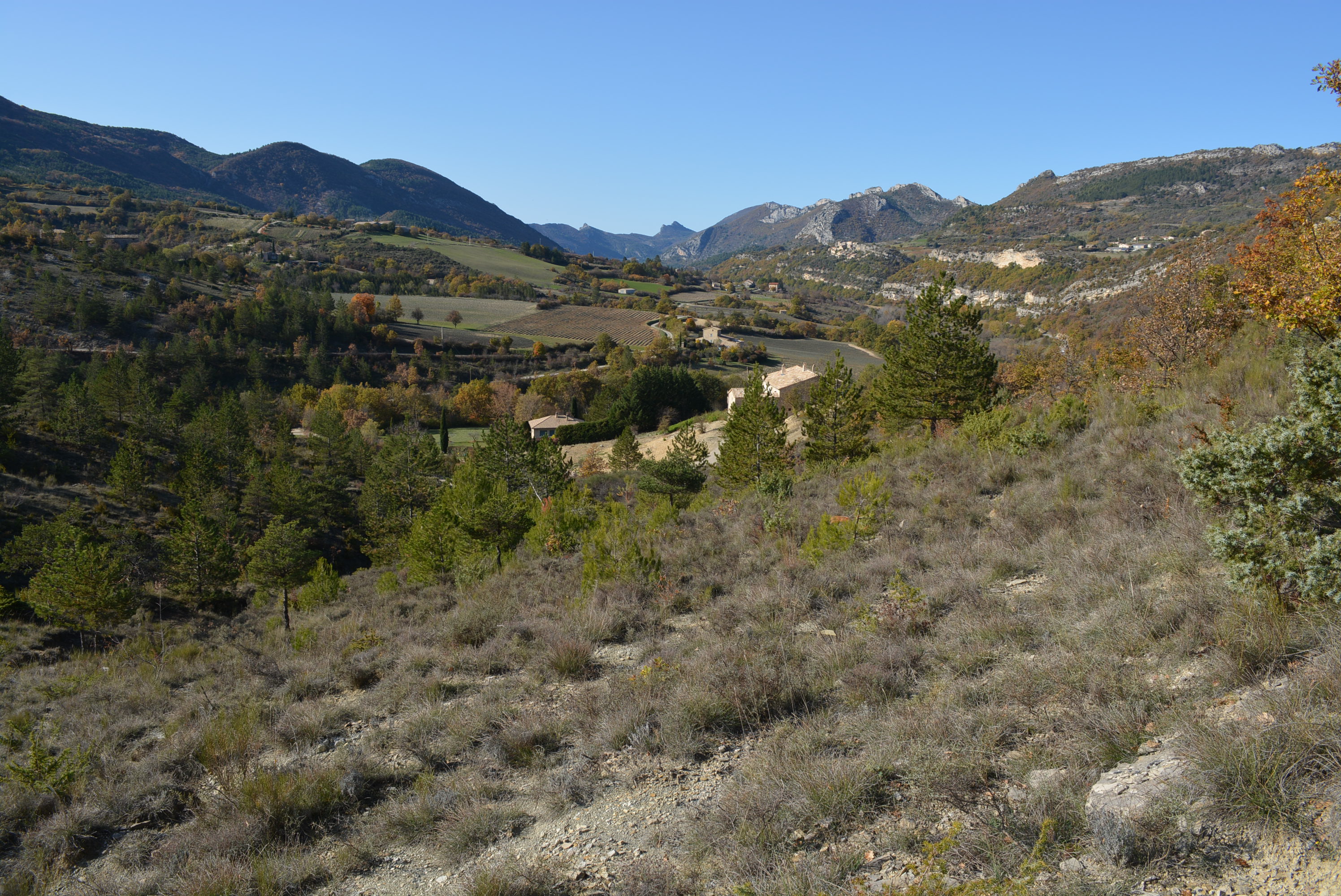
A beautiful hike that winds around the Mont du col de Laurat (787m). Situated between the Ouvèze and Guérindon valleys, Chabouze is a remote corner of the forest.
The village of Sainte-Euphémie-sur-Ouvèze lies on the banks of the Ouvèze valley, with gorges upstream, hence the village's full name, which includes the river's name. To finish the hike, you can visit the village, which is characterized by narrow streets, pigeon lofts and the famous pointed ladders used to pick lime trees. Departure: Arriving at Sainte-Euphémie-sur-Ouvèze from Buis-les-Baronnies on the D546, take the right-hand road at the entrance to the village, downhill towards the town hall. After a bridge, park in the large parking lot on the right, Place du Petit Portail. 1. Head south. After 100m, at the corner, the road turns left onto Rue des Remparts to reach Place de la Mairie (signposted "Sainte-Euphémie, 540m"). Turn right towards Chabouze. 2. After 100m, turn left. The road turns right over a bridge. Then climb the opposite slope, staying on the road. 3. At the fork, take the left-hand road. This becomes an unsurfaced track. 4. After 1.4km, at the crossroads, go straight ahead, cross the bridge and then take the flat track on the right 30m further on. You are now entering the Chamouse state forest. 5. After 600m, leave the track as it curves around a hairpin and continue straight ahead on a path through the woods. Cross a stream and enter the pine forest. 6. Rejoin the track, cross it and take the uphill path (alt. 679m on IGN). 7. After 150m, rejoin the track and take the right-hand path. 50m further on, before a right-hand bend, leave the track and take the left-hand path. 8. After 200m, reach a flat area and follow the path to the left. 9. The path turns right and climbs in a straight line through a gullied area at the edge of a field. 250m further on, at the crossroads where you leave this path, take the track which continues straight ahead. 10. At the fork in the road, take the hairpin right. Follow it for 2.6km, on a slope. 11. At the next intersection, turn right into a hairpin bend on impasse Sainte-Luce. 12. Cross a ford (use the wooden bridge in case of flooding), then turn left. 13. At the hairpin bend in the track below the house, turn right into the stream bed, which is dry most of the time, before leaving it 100 m further on via a left-hand path. This runs along a slight ridgeline before going straight on, aiming for a holm oak on the main ridgeline. Follow the signs. 14. Cross the main path and head downhill towards a field. Pass by a lavender field and gradually turn right to pick up a more pronounced path that slopes back towards Sainte-Euphémie, offering sublime views of the Ouvèze valley and the Sainte-Euphémie cliffs. 15. Return to the starting fork. Take the road opposite and cross the bridge to reach the start parking lot.
- Address 26170 Sainte-Euphémie-sur-Ouvèze
- Phone 04 75 28 04 59
- Email Nous écrire
- French
Details about route marking : PR jaune
L’agence d’Attractivité de la Drôme cannot be held responsible for any problems encountered along the route.
Any problems encountered can be outlined here:
Author: Conseil Départemental de la Drôme - Apidae Tourisme
Updated on 24/07/2025
Through Conseil départemental de la Drôme
