- 11.2 km
- 3h
- Difficult
- + 350 m
Bel Air
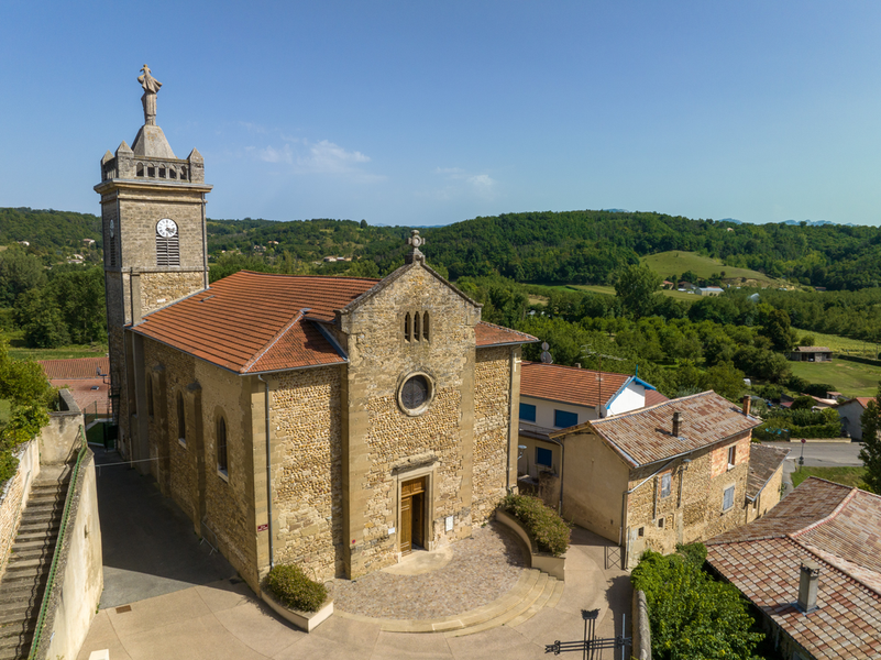
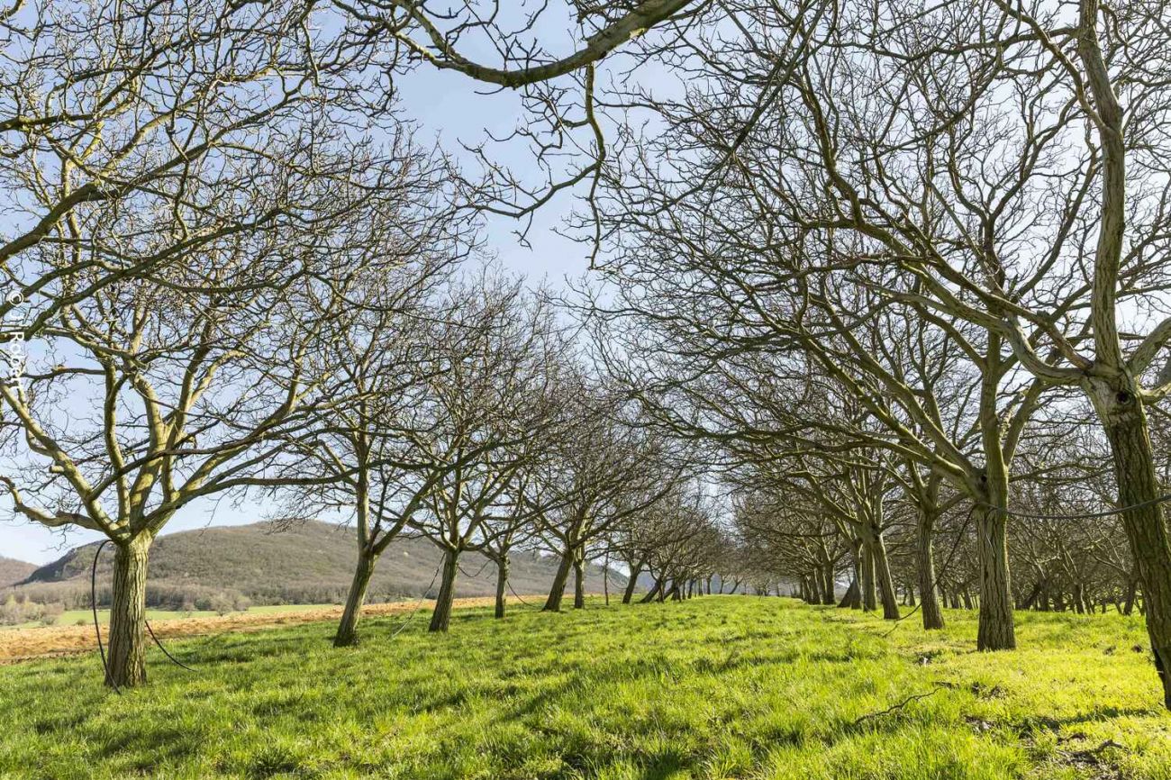
At its highest point, this hike on the Drôme border offers a magnificent panoramic view of the Vercors chain, the Roman plain and the Ardèche mountains.
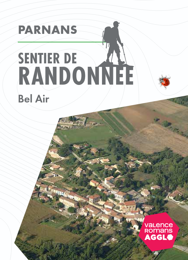
Start: north exit of Parnans village, before the bridge over the Joyeuse.
-
Address
Sortie nord du village avant le pont de la Joyeuse
26750 Parnans - Phone 04 75 44 90 40
- Email Nous écrire
- Website See the website
Further information
- French
Our tips
Details about route marking : Balisage PR (Jaune) - Balisage GR® de Pays (Jaune et rouge) -
To see the GPX, download the application
L’agence d’Attractivité de la Drôme cannot be held responsible for any problems encountered along the route.
Any problems encountered can be outlined here:
Author: Conseil Départemental de la Drôme - Apidae Tourisme
Updated on 13/10/2026
Through Conseil départemental de la Drôme