
Autour de Nyons
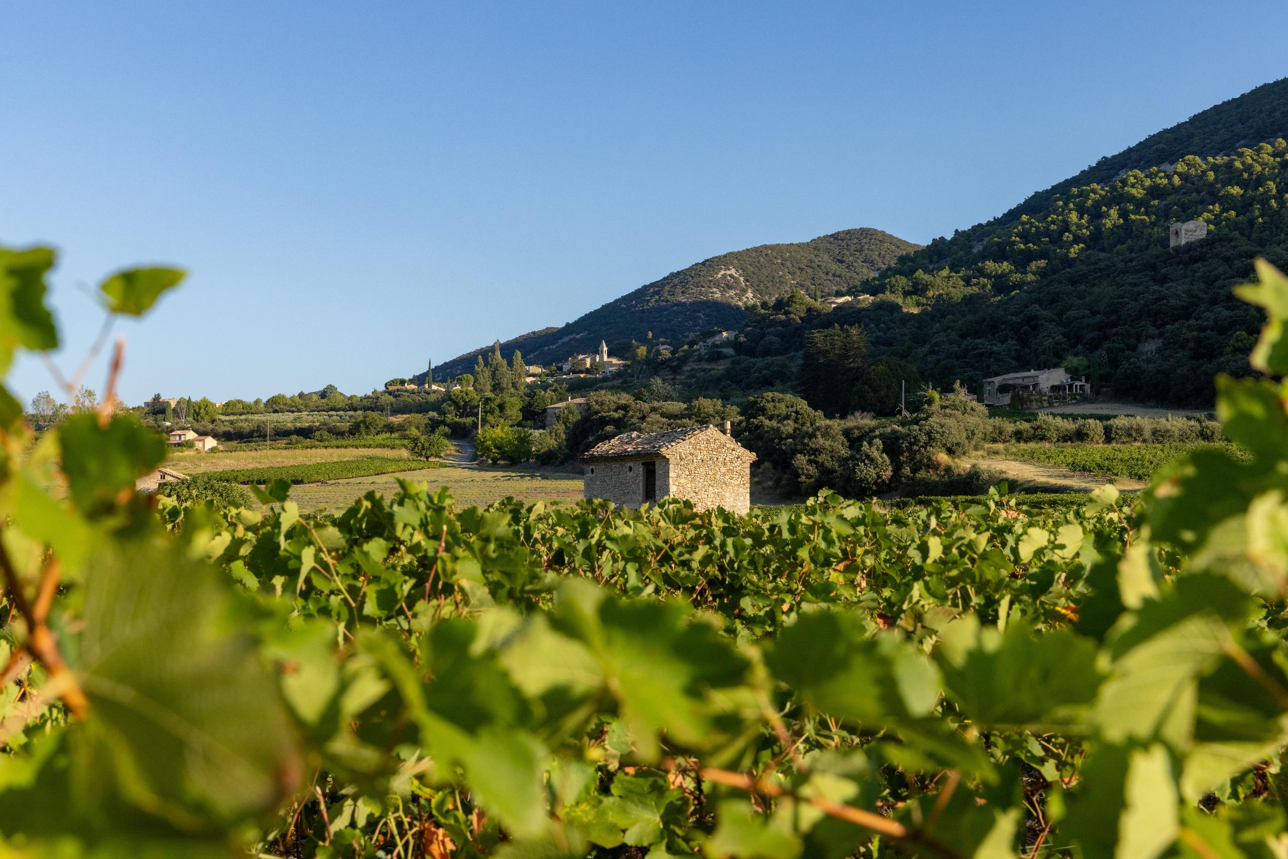
This road circuit explores the richness of the local produce (vines, olives, apricot and cherry trees...). With its diverse vegetation and landscapes, this itinerary offers beautiful views over the town of Nyons and the Eygues valley.
Point 1: Place de la libération/Office de tourisme (km 0) Point 2: Les Paréjats (km 3.6 - 355m) At the end of the descent, turn right. Point 3: Serre de Berlo (km 6 - 335m) Take care, as you come to the RD 538. Turn left, follow the RD for 500m, then turn right. Point 4: Pont blanc (km 6.5 - 310m) Climb up to the Estangs district. Point 5: Village de gîtes (km 12.5 - 285m) At the bottom of the descent, take the road on the left that runs alongside the village of gîtes. Climb up to the Serre de Reynier relay station. Point 6: Pont blanc des Souchères (km 15.2 - 278m) Turn right and return to Nyons.
-
Address
Place de la libération
26110 Nyons - Phone 04 75 26 10 35
- Email Nous écrire
Further information
- French
Our tips
Details about route marking : Balisage VTT (Jaune) - Boucle N°13 bleu
To see the GPX, download the application
L’agence d’Attractivité de la Drôme cannot be held responsible for any problems encountered along the route.
Any problems encountered can be outlined here:
Author: Conseil Départemental de la Drôme - Apidae Tourisme
Updated on 13/10/2026
Through Conseil départemental de la Drôme

