
Au fil de l'eau
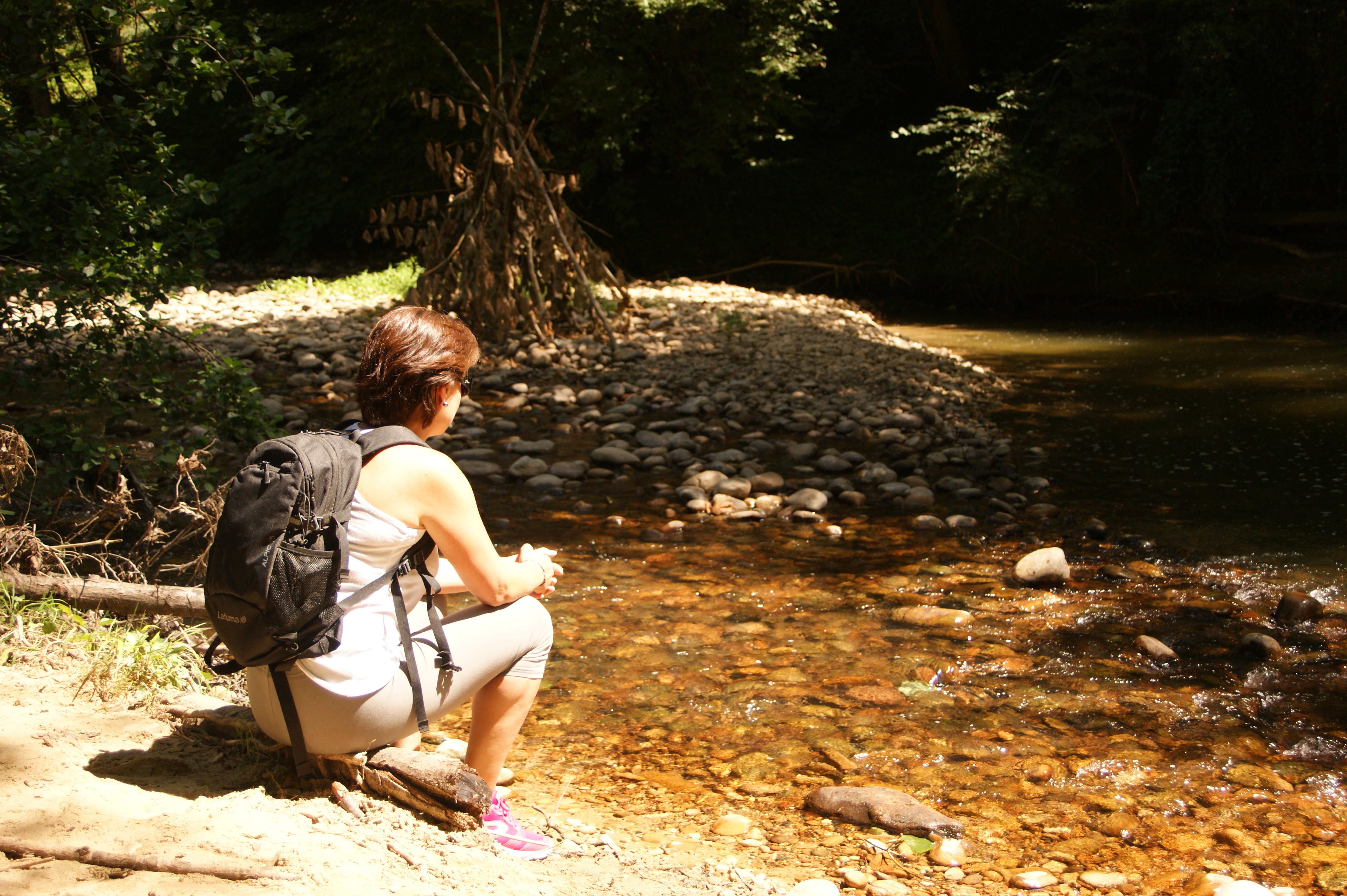
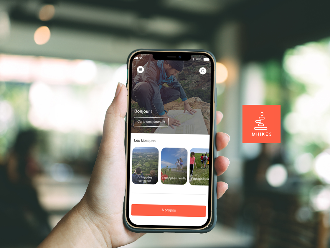
From the foot of the Châteauneuf hill, this charming riverside walk invites you to discover the riparian zone. To be discovered in the guidebook on sale at the tourist office and the "MHIKES" application.
This word comes from "ripa" which means bank and "sylva" which means forest and which designates the vegetation that borders the waterways.
-
Address
D51 Place des Cordeliers
26330 Châteauneuf-de-Galaure - Phone 04 75 23 45 33
- Email Nous écrire
- Website See the website
Further information
- French
Our tips
Map references : Cartoguide de l'Office de tourisme de Porte de DrômArdèche
To see the GPX, download the application
L’agence d’Attractivité de la Drôme cannot be held responsible for any problems encountered along the route.
Any problems encountered can be outlined here:
Author: Conseil Départemental de la Drôme - Apidae Tourisme
Updated on 17/07/2026
Through Conseil départemental de la Drôme
